

Snoqualmie Falls is a waterfall on the Snoqualmie River, about 29 miles from downtown Seattle, with viewpoints and trails in a day-use park. For hiking near Seattle, it offers a short route between upper and lower viewing areas as well as a longer round trip; admission is free.
- Location: 6501 Railroad Ave, Snoqualmie, Washington.
- The park is open daily from sunrise to sunset.
- Admission is free; parking options and fees vary by lot.
Planning the drive to Snoqualmie Falls
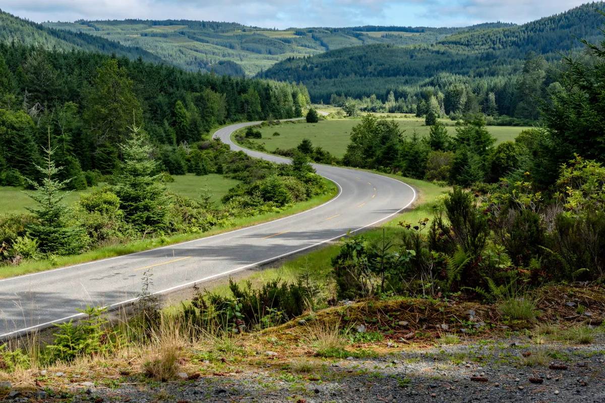
Driving from Seattle, follow I-90 East to exit 25, then take Snoqualmie Parkway and Railroad Avenue to the upper parking lot. Rooms at this Seattle motel offer a place to stay before or after a day trip to the falls.
Parking descriptions and fees differ between the official visitor site, the City of Snoqualmie and Puget Sound Energy. Before setting out, check the official site before you go for current parking details. Free parking is available across the street, and RV parking is available in the free lot.
The drive makes a practical day trip from Seattle. If you’re planning other outdoor stops in the city, Ravenna Park’s walking paths offer a different kind of green-space outing.
What can you see at Snoqualmie Falls?
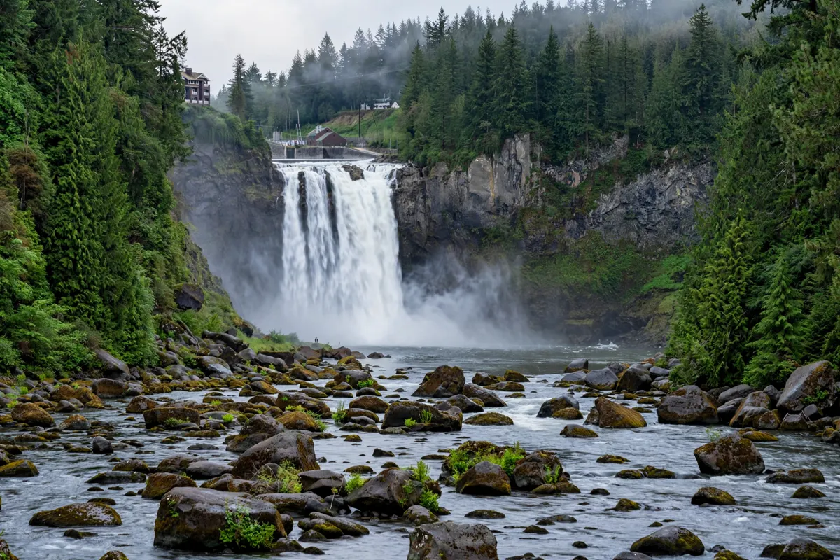
The upper park has two observation decks, a visitor center and picnic tables, with views of the falls; the lower park has a separate viewing area. The upper viewing platform is about 200 feet from the paid parking lot and is wheelchair accessible.
The falls are described as 270 feet high by the official visitor site, and as 268 feet high by the City of Snoqualmie and Puget Sound Energy.
The site is sacred to the Snoqualmie Tribe. It also has a history of hydroelectric power: Charles H. Baker developed the project in 1898–1899, including the world’s first hydroelectric plant built completely underground.
Trails, access and safety
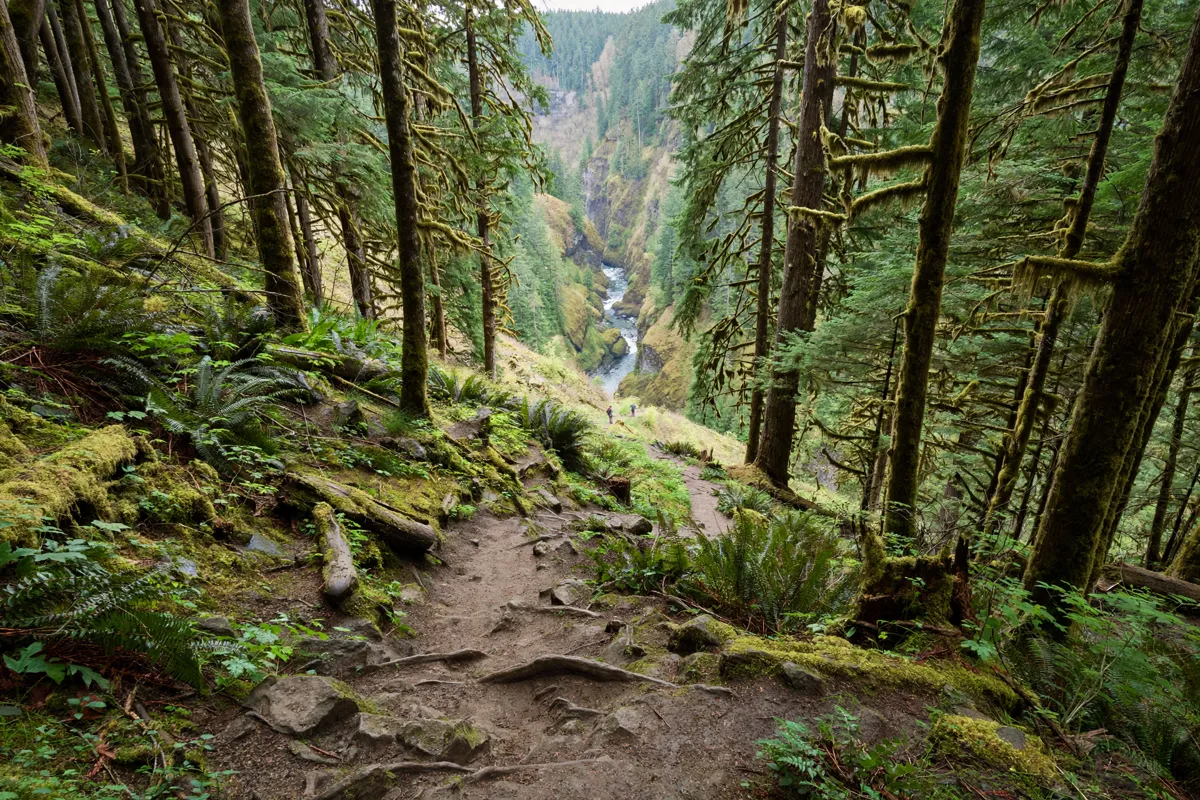
The trail from the upper area to the lower observation deck takes about 15 minutes downhill and drops 250 feet in elevation. The return climb is steep, so consider your health and stamina before heading down. The lower trail is not wheelchair accessible.
The round-trip hike is 1.4 miles with 250 feet of elevation gain. Stay behind gates and railings rather than approaching the river: surfaces can be slippery, and river levels can change unpredictably. Leashed dogs are allowed; drones and similar aircraft, along with barbecue cooking, are not.
For another way to stretch the outing, the paved walk between Snoqualmie Falls and historic downtown Snoqualmie is one mile each way.
A practical day-trip outline
Start at the upper park for the observation decks and visitor center, then choose whether to take the steep trail down to the lower viewing area.
Allow for the downhill walk and the more demanding climb back up when deciding whether to add that section. If you’d rather keep the outing level, stay at the upper platform, which is wheelchair accessible.
Pack a picnic if you want to eat at the park’s picnic tables. You can also add the paved walk to historic downtown Snoqualmie, a one-mile route each way. The falls are open from sunrise to sunset every day of the year, and admission is free; check the official site before you go for parking details.
FAQs
How tall is Snoqualmie Falls?
Published figures range from 268 to 270 feet, depending on the source.
Is the trail to the lower viewing area accessible by wheelchair?
No. The lower falls trail is not wheelchair accessible, while the upper viewing platform is.
Can you bring a dog to Snoqualmie Falls?
Yes. Dogs are allowed on leash.
Can you walk from the falls to downtown Snoqualmie?
Yes. The paved walk between the falls and historic downtown Snoqualmie is one mile each way.
Where can you find airport transport information?
For flight logistics, read about transport from the airport to Crown Inn before planning the drive to Snoqualmie Falls.